



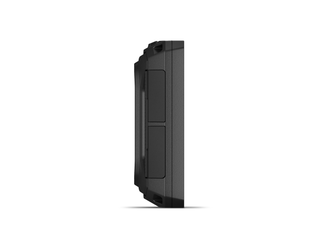
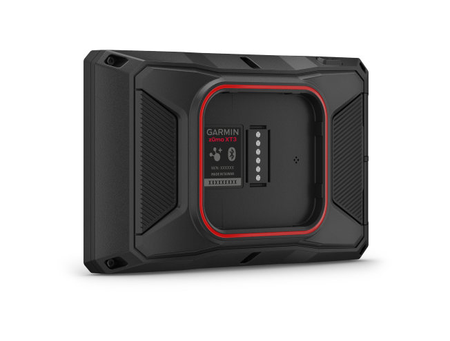
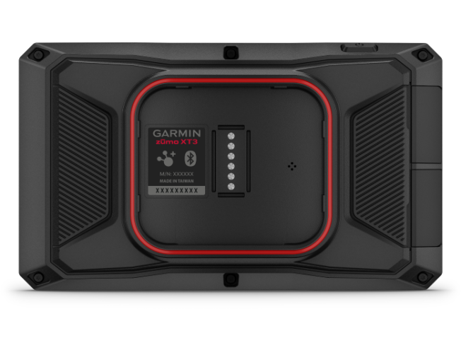
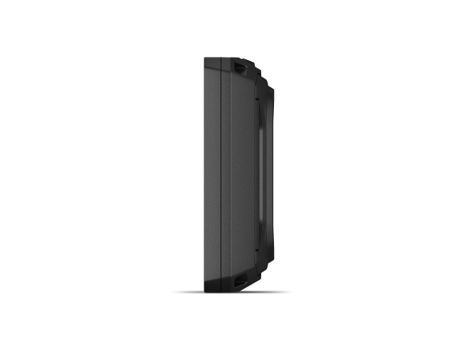
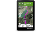
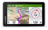
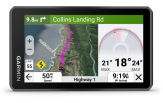
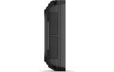
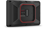
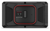
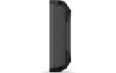
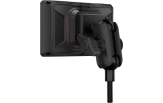
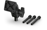
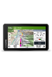
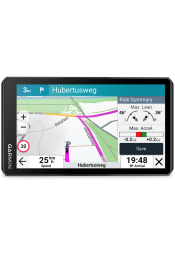
Garmin Zümo XT3 4,7" 4.7" display
This purchase makes you a club member for free
Read more- Club prices on all products
- 1 free parcel locker delivery a year
- Valid for 3 years, every purchase extends it
- Monthly member offers

In stock
Tondi
*Receive by courier or from a parcel locker as early as 13.11

 4.8
861 reviews
GPS Eesti on Google


THE RIDE OF YOUR LIFE
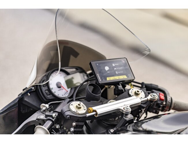
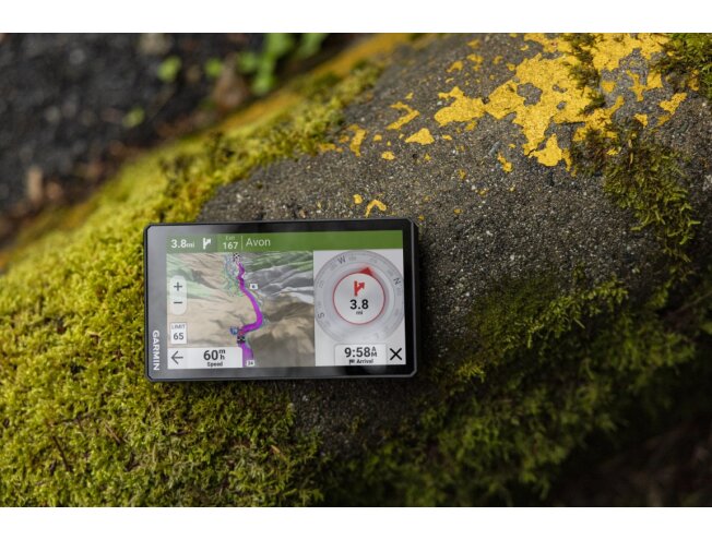
Nothing beats the thrill of riding a motorcycle. The zūmo XT3 sat nav enhances every corner, chicane and straight, both on the road and on the track. With an IPX7 water rating and MIL-STD-810 shock protection, the device withstands extreme weather and handlebar vibration, and is packed with riding assistance features.

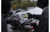
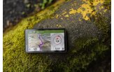
WITHSTANDS WEATHER AND VIBRATION

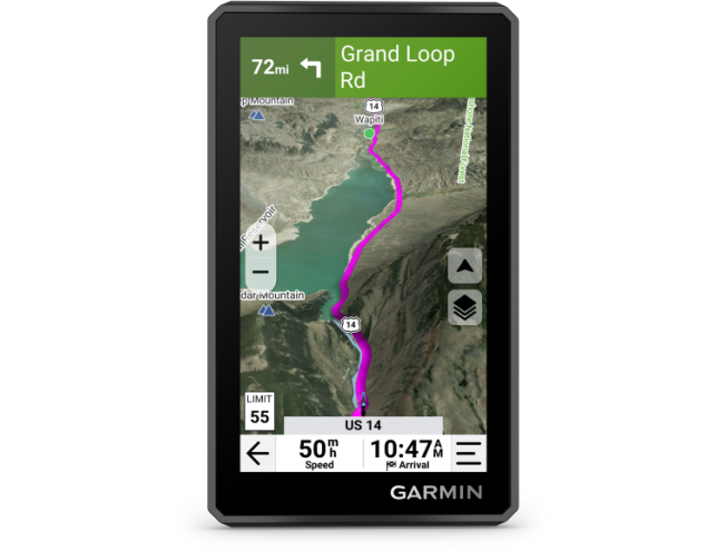
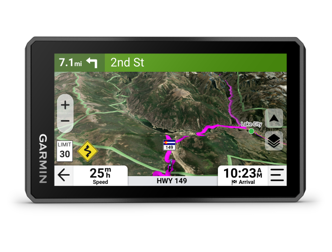
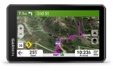
DETAILED STREET MAPS, TOPOGRAPHIC MAPS AND SATELLITE IMAGERY HELP YOU RIDE

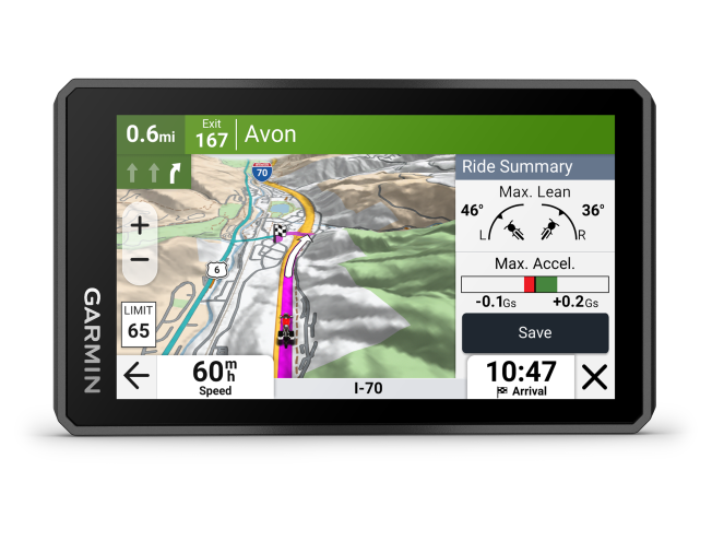
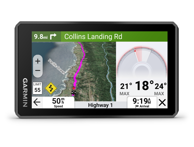
SEE YOUR LEAN ANGLE, ACCELERATION, MAXIMUM SPEED AND MORE

CREATE CUSTOM ROUTES IN THE TREAD® APP

FIND ALL THE TWISTS AND TURNS WITH GARMIN ADVENTUROUS ROUTING™

ACTIVATE THE GARMIN PERFORMANCE PACKAGE™ PLAN FOR DRAG RACING FEATURES
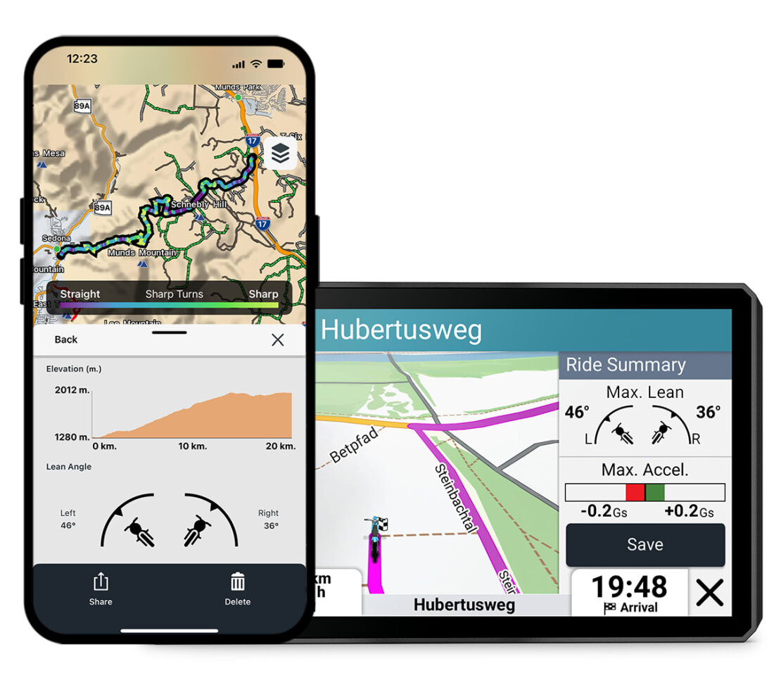 | 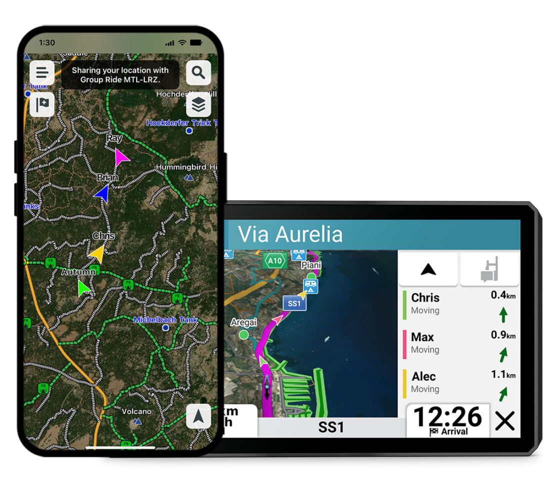 |  |
| LEAN ANGLES | GROUP TRACKING | FIND NEW ROUTES |
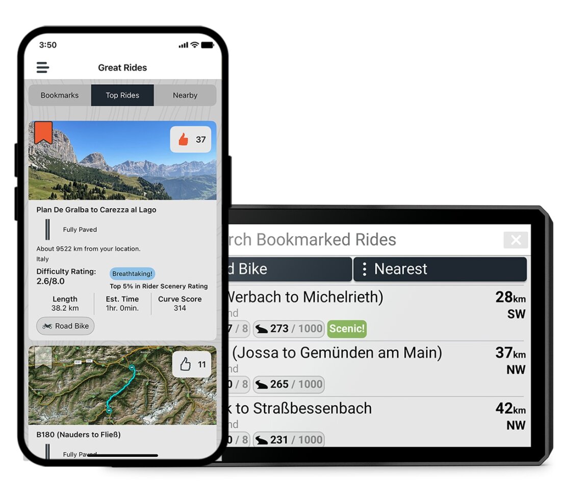
| View and share your lean angle, acceleration, maximum speed and other data in your ride summary in the Tread® smartphone app. | Use the Tread smartphone app and/or the zūmo XT3 to keep track of your friends with the Group Ride Mobile feature¹ (cellular coverage required). When riding out of coverage, use the group ride tracker accessory² with the Group Ride Tracker Y-adapter (sold separately) to track other riders using a compatible zūmo or Tread® sat nav. | Find new routes in the Great Rides catalogue in the Tread smartphone app and mark them, after which they will automatically sync to your device. You can add difficulty ratings and upload photos to share with other riders. |
 |  |  |
| VISUAL ROUTE PLANNER | DRAG TIMER | LAP TIMING |
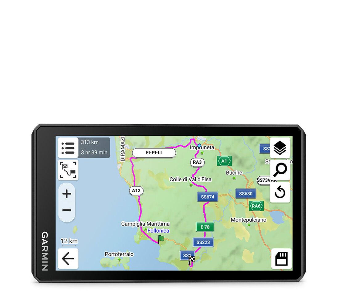
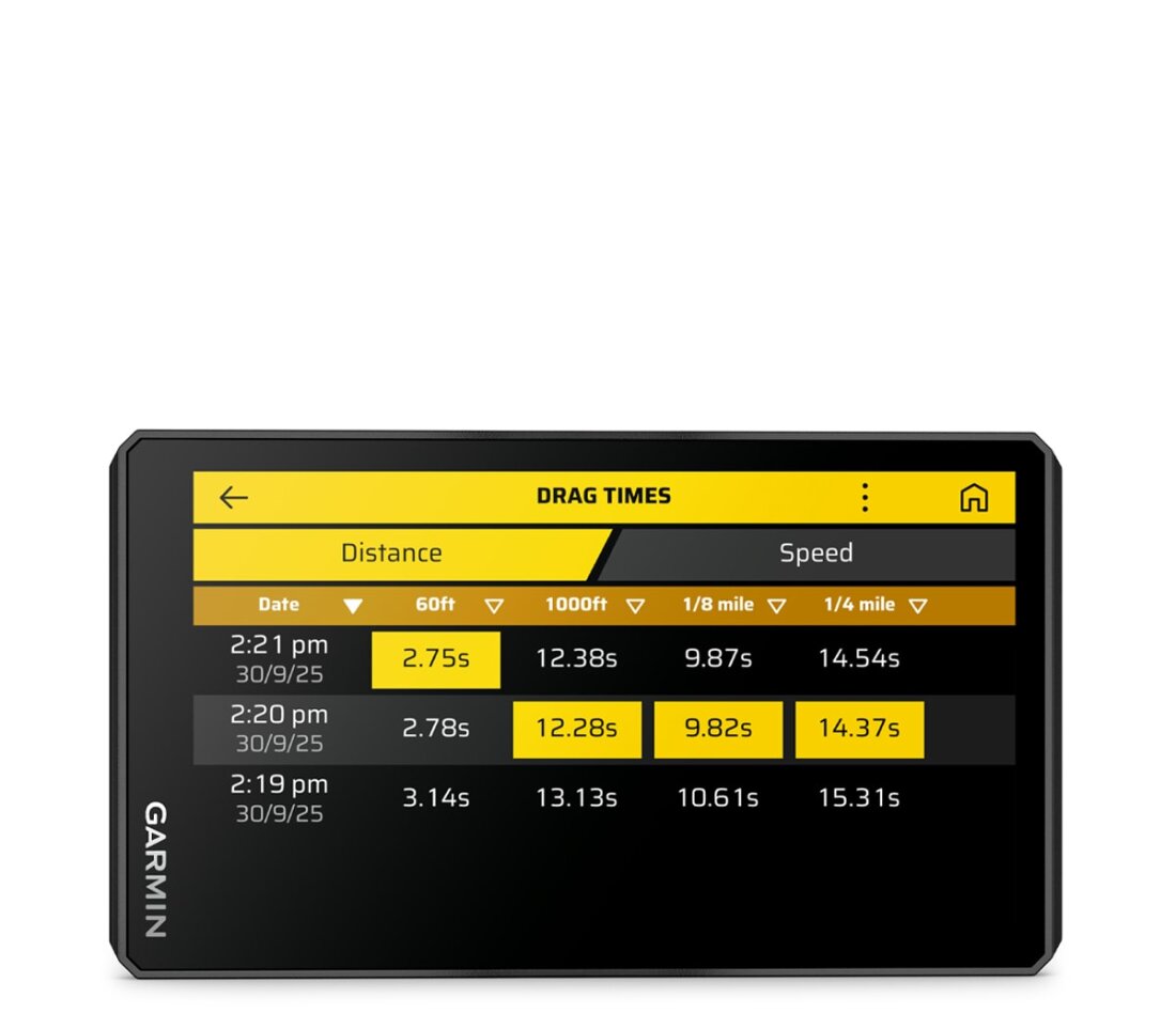
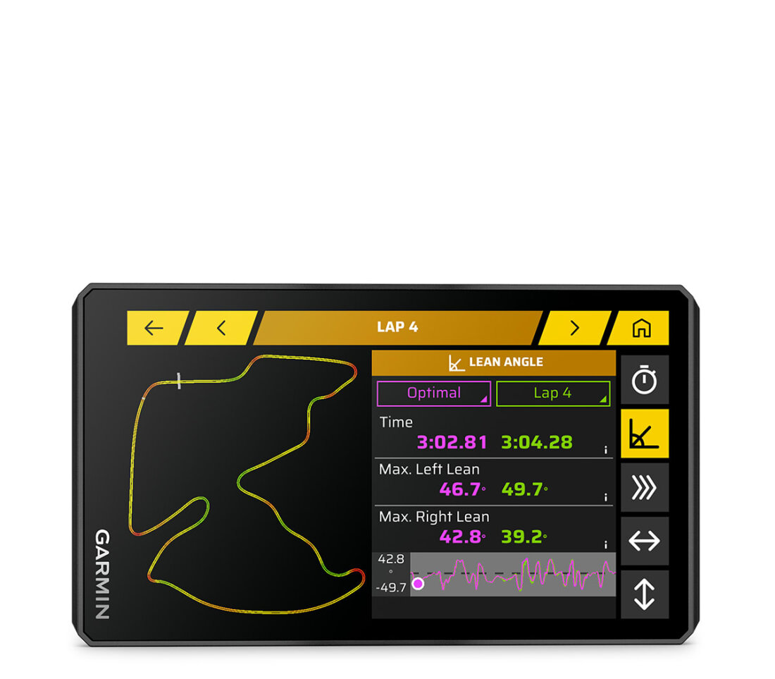
| Plan your route on the device or use the Tread app on a compatible smartphone. Choose custom routing options such as curvy roads, hills or scenic back roads. You can also import your route as GPX, KML or KMZ files. | Record your 0–60 km/h, 1/8-mile and 1/4-mile times with an active Garmin Performance Package subscription. | See your lap times, race stats, delta times, lean angles for each corner and more with an active Garmin Performance Package subscription. |
POPULAR TRACKS
See popular tracks from other motorcyclists to find exciting new journeys to explore.
GARMIN ADVENTUROUS ROUTING
Straight roads are boring. Find the most exciting routes with hills, curves and points of interest, and choose from 4 difficulty levels.
SATELLITE IMAGERY
High-resolution satellite imagery gives you a clear overview of your route and the surrounding terrain for easier navigation. Download maps directly to your device using Wi-Fi® technology. No subscription required.
MUSIC AND DIRECTIONS
Keep your headset paired with your phone and choose music or listen to turn-by-turn directions from your navigator. Turn prompts are sent to your headset via your phone.
TRAFFIC AND WEATHER
Through the Tread app, access live traffic and weather information, share routes with other riders and receive phone notifications³.
OUTDOOR MAPS+
With an active Outdoor Maps+ plan, get access to premium map content, including turn-by-turn directions for adventurous roads and forest tracks. Content is updated regularly and delivered directly to your device.
MICHELIN® SCENIC ROUTES
Discover unforgettable roads with MICHELIN® scenic routes; easily add them to your trip with the visual route planner, or select a highlighted green route directly on the map and simply ride.
TRACK RECORDING
Record your ride data such as speed, distance, lean angles, acceleration and more, and share the details with friends in the Tread app.
MANAGE YOUR DATA
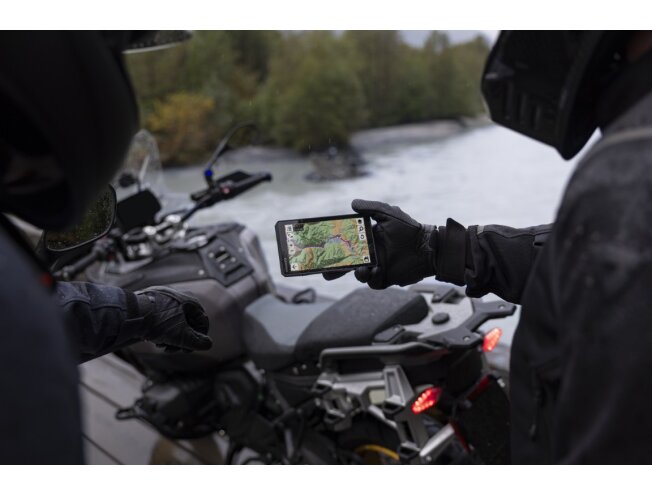
With the Tread app, easily manage tracks and routes on your sat nav and compatible smartphone³.
RIDER ALERTS
Get alerts for hazards such as upcoming sharp curves, speed limit changes and more. You are also notified when laws require you to wear a helmet.
INCIDENT DETECTION
In the event of an accident, a text message with your location is automatically sent to your preselected contact³.
BLIND SPOT MONITORING
Pair the sat nav with your zūmo™ R1 radar system (sold separately) for rearview and blind spot monitoring. External lights increase your visibility to other road users, and the system displays vehicles around you directly on the sat nav screen.
HANDLEBAR CONTROLLER
Control the most convenient map functions with buttons without taking your hands off the handlebars while riding when you pair the device with the wired handlebar controller accessory (sold separately).
OFF-GRID COMMUNICATION
When riding off the grid, connect to a compatible inReach® satellite communicator⁴ (sold separately) for two-way messaging, location sharing and the ability to send an SOS in an emergency.
FREE RIDE
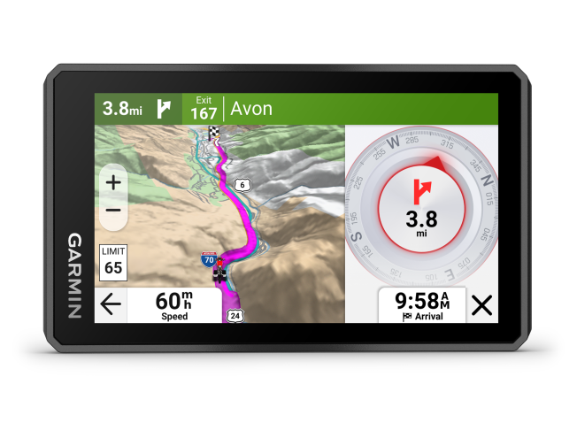
Enjoy the freedom of riding with just a compass, where an arrow shows the distance and direction to your destination.
WIRELESS UPDATES
Built-in Wi-Fi® connectivity⁵ makes it easy to keep maps and software up to date without a computer. When updates are available, a notification appears on the screen.
Tracking via the Group Ride Mobile feature requires the Tread app running on your and each of your friends’ compatible smartphones with Bluetooth® technology and an active cellular connection.
2Use a compatible zūmo or Tread sat nav and the Tread app. Group tracking requires a connection to the vehicle power system and push-to-talk functionality. Pair the zūmo XT3 with your helmet or headset (sold separately) designed for hands-free communication using Bluetooth technology. zūmo XT3 devices also require constant power via the Group Ride Tracker Y-adapter cable (sold separately).
3Requires the zūmo to be paired with your smartphone with Bluetooth and GPS technology and the Tread app.
4Requires an active satellite subscription. Some jurisdictions regulate or prohibit the use of satellite communication devices. It is the user’s responsibility to know and follow all applicable laws in the countries where the device is intended to be used.
5Requires an active Wi-Fi connection.
Satellite imagery © 2026 Maxar Technologies (satellite imagery date may vary). The Bluetooth word mark and logos are registered trademarks owned by Bluetooth SIG, Inc. and any use of such marks by Garmin is under licence.
© Michelin Travel Partner.
As engineers continuously update products, they may not always be reflected in images, videos and specifications.
General | |
| Physical dimensions | 4.7″: 12.8 x 7.5 x 2.4 cm (5.04″ W x 2.95″ H x 0.95″ D) 6″: 15.6 x 8.9 x 2.5 cm (6.15″ W x 3.5″ H x 1″ D) |
|---|---|
| Weight | 4.7″: 190 g 6″: 340 g |
| Water rating | IPX7 |
| Display type | Multi-touch, high-brightness, HD colour TFT glass display with white backlight |
| Display size | 4.7″: 10.3 x 5.8 cm (4″ W x 2.3″ H); 11.8 cm diagonal (4.66″) 6″: 13.3 x 7.5 cm (5.3″ W x 3″ H); 15.3 cm diagonal (6″) |
| Display resolution | 1280 x 720 pixels |
| Dual-orientation display | |
| Handlebar mount (up to 1 inch) | See more |
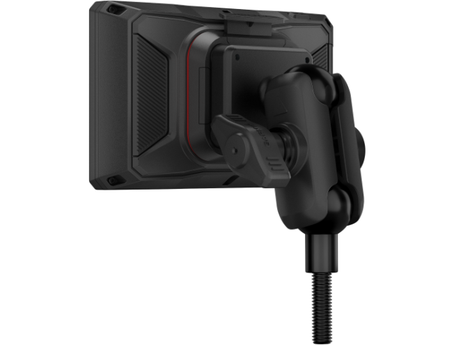
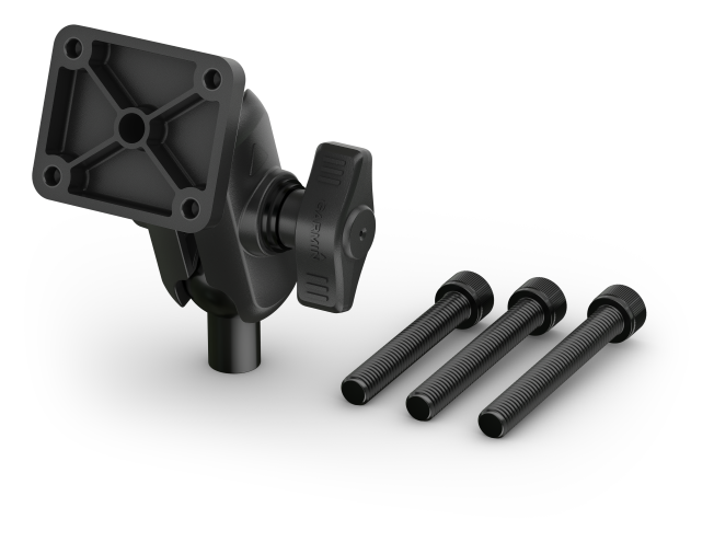
| Post mount | 4.7″: Yes, M8 bolts (55 mm, 60 mm, 65 mm length) |
| Shock rating | MIL-STD-810 |
| Dust rating | IP6X |
| Battery type | Rechargeable lithium-ion battery |
| Battery life | 4.7″: up to 3 hours (up to 2 hours at 100% backlight) 6″: Up to 6 hours (up to 4 hours at 100% backlight) |
Maps & memory | |
| Data cards | microSD™ card (not included) |
|---|---|
| Preloaded street maps |  |
| High-resolution 3D terrain | |
| 3D terrain | |
| Internal memory | 64 GB |
| Ability to add maps | |
| Memory and power | Yes (max 256 GB microSD™ card) |
| Includes map updates | |
| Downloadable satellite imagery | |
| TOPO map support | |
Sensors | |
| GPS | |
|---|---|
| Galileo | |
| BeiDou | |
| 25 Hz multi-GNSS positioning | |
Outdoor recreation features | |
| Point-to-point navigation | |
|---|---|
| PRELOADED TOPOGRAPHIC MAPS | |
| Track navigation | |
| Compatible with Outdoor Maps+ subscription | |
Camera features | |
| Backup camera compatible | Yes (BC™ 50) |
|---|---|
Navigation features | |
| Visual route planner | |
|---|---|
| Garmin Real Directions™ landmark guidance | |
| TripAdvisor® travel ratings | |
| Route planning via preferred cities/streets | |
| Traffic updates | Yes (with Tread app) |
| Lane assist with junction view (displays junction road signs) | |
| Bluetooth® calling | Yes (works with Bluetooth-compatible helmet, headset or smartphone. BLE capable.) |
| Speed limit indicator (displays speed limits for major roads in Europe) | |
| Driver alerts for sharp bends, school zones, red light and speed cameras and more | |
Detailed features | |
| Smart notifications via the app | |
|---|---|
| Wi-Fi® map and software updates | |
| Access to live services via the app | |
Motorcycle features | |
| Music and media control from smartphone or MP3 player | |
|---|---|
| Sunlight-readable and waterproof | |
| Garmin Adventurous Routing™ | |
| Lean angles | |
| Rider alerts for sharp curves, speed cameras and more | |
| Planned and dynamic fuel stops | |
| Popular tracks (moto) | |
| Elevation profile | |
| Round-trip routing | |
| Tracking support | |
| Custom map support | |
| ANT+® wireless technology | |
Off-road features | |
| Pairs with compatible inReach® device | |
|---|---|
| Pairs with Garmin PowerSwitch | |
| Compatible with handlebar controller | |
| Compatible with group ride tracker (6-, 8- and 10-inch) | |
| Group Ride Mobile | |
| Track recorder (breadcrumb trails) | |
| Compatible with the Garmin Tread app for route planning and data management (waypoints, tracks and routes) | |
| Michelin® Green Guide – travel guide | |
| Glove-friendly touchscreen | |
Motorsport features | |
| Built-in accelerometers | Yes (with Performance Package subscription) |
|---|---|
| Shows best lap time, customisable delta time, lap count and total session time | Yes (with Performance Package subscription) |
| Preloaded global track database | Yes (with Performance Package subscription) |
| Session comparisons | Yes (with Performance Package subscription) |
| Multiple vehicle support | Yes (with Performance Package subscription) |
| Stores full track history | Yes (with Performance Package subscription) |
| Weather plus 5-day forecast via Wi-Fi | Yes (with Performance Package subscription) |
| Segment analysis (racing line, speed and acceleration/deceleration data) | Yes (with Performance Package subscription) |
| Leaderboards | Yes (with Performance Package subscription) |
| Friend comparison | Yes (with Performance Package subscription) |
Safety and legal information | |
| EU data regulation information - Automotive | |
|---|---|
Extra | |
| Extra | Handlebar mount (up to 1″): 6″ |
|---|---|
4,7″
- zūmo XT3 4.7"
- Motorcycle crossbar post mount and hardware
- Motorcycle power cable
- Charging/data cable
6″
- zūmo XT3 6"
- Motorcycle crossbar tube mount and hardware
- Motorcycle power cable
- Charging/data cable
- Kasutusjuhend Garmin Zümo XT3
Frequently asked questions
How often are map updates released?
Garmin City Navigator kaardiuuendused ilmuvad tavaliselt kuni kolm korda aastas.
Eluaegse Euroopa kaardi uuenduse ostjad saavad laadida uusi kaarte otse internetist kuni 3 korda aastas.
Kaarte saab uuendada Garmin Express programmiga.
Traffic information coverage in Europe
Garmin FM traffic information coverage in Europe
(LMT/MT-D):
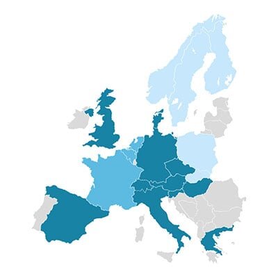
 Available
 Available until December 2025
 Available until March 2025
LMT/MT-D devices can also use traffic information from the Smartphone Link/Garmin Drive app via a smartphone*.
Garmin Smartphone Link/Garmin Drive app traffic information coverage in Europe
(LMT-S/ MT-S)*:
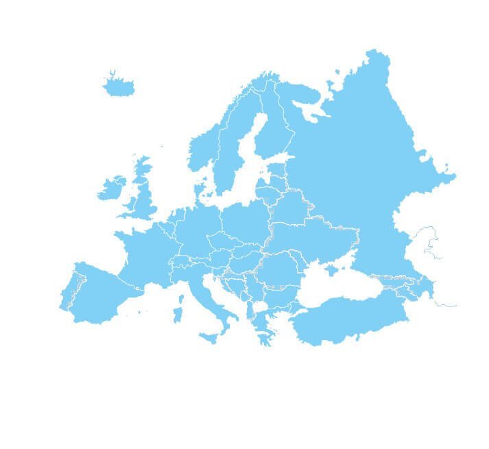
 Available
*Requires a smartphone with an internet connection. Average data usage ~2MB per hour
Mass storage mode on newer Garmin devices
Newer Garmin devices no longer connect to a computer in mass storage mode, but as media devices. This means older Garmin applications cannot be used, and sometimes there may be problems updating the device. To put the device into mass storage mode, follow these instructions: Turn...
What is GPS and how accurate is it?
WHAT IS GPS? The Global Positioning System (GPS) is a satellite navigation system owned by the US government, currently made up of at least 24 operational satellites. GPS works in any weather conditions, anywhere in the world, 24 hours a day, with no subscription or setup fees. T...
