



WHAT IS GPS?
The Global Positioning System (GPS) is a satellite navigation system owned by the US government, currently made up of at least 24 operational satellites. GPS works in any weather conditions, anywhere in the world, 24 hours a day, with no subscription or setup fees. The US Department of Defense (USDOD) originally put the satellites into orbit for military use, but they were made available for civilian use in the 1980s.
HOW DOES GPS WORK?
GPS satellites circle the Earth twice a day in a precise orbit. Each satellite transmits a unique signal and orbital parameters that allow GPS devices to decode and calculate the satellite's precise location. GPS receivers use this information and triangulation to calculate the user's exact location. Essentially, the GPS receiver measures the distance to each satellite by the time it takes to receive a transmitted signal. With distance measurements from several satellites, the receiver can determine the user's position and display it electronically to measure your running route,, map a golf course,, find your way home or adventure anywhere.
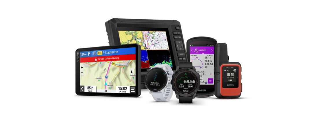
Today, GPS is built into all kinds of devices, such as smartwatches, satellite communicators, cars, boats and much more. To calculate your 2D position (latitude and longitude) and track movement, a GPS receiver must be locked on to the signal of at least three satellites. With four or more satellites in view, the receiver can determine your 3D position (latitude, longitude and altitude). Generally, a GPS receiver will track eight or more satellites, but that depends on the time of day and where you are on Earth. Some devices can do all of this right from your wrist.
Once your position has been determined, the GPS device can calculate other information, such as:
- speed
- bearing
- track
- trip distance
- distance to destination
- sunrise/sunset times
- and more
HOW ACCURATE IS GPS?
Today's GPS receivers are extremely accurate thanks to their parallel multi-channel design. Our receivers lock on to satellites quickly when first turned on. They maintain a tracking lock even under dense tree cover or in urban settings between tall buildings. Certain atmospheric factors and other sources of error can affect the accuracy of GPS receivers. Garmin GPS receivers are typically accurate to within 10 metres. Accuracy is even better on water, as there are no obstructions to interfere with the signal.
THE GPS SATELLITE SYSTEM
The 31 satellites that currently make up the GPS space segment orbit the Earth about 19,000 km above us. These satellites are constantly moving, making two complete orbits in less than 24 hours. They travel at speeds of roughly 11,000 km per hour. Small thrusters keep each satellite on the correct path.
Here are some more interesting facts about GPS satellites:
- The official US Department of Defense name for GPS is NAVSTAR.
- The first GPS satellite was launched into orbit in 1978.
- The full constellation of 24 satellites was achieved in 1994.
- Each satellite is built to last about 10 years. Replacements are constantly being built and launched into orbit.
- A GPS satellite weighs about 900 kg and is about 5 m wide with its solar panels extended.
- GPS satellites are powered by solar energy, but they have backup batteries on board in case of a solar eclipse.
- Transmitter power is only 50 watts or less.
- GPS is currently rolling out Block III, the third generation of satellites.
OTHER GPS SYSTEMS
There are other systems similar to GPS around the world, all classified as Global Navigation Satellite Systems (GNSS). GNSS is a general term referring to all satellite navigation systems. Most Garmin receivers track GPS, GLONASS and Galileo, and some regional variants even track BeiDou and QZSS. These are sometimes called multi-constellation receivers because they track and use multiple satellite constellations. In general, you can expect a more reliable solution the more satellites it tracks. Newer Garmin products can track almost 20 or 30 satellites.
WHAT IS THE SIGNAL
By the time GPS satellite signals reach the Earth's surface, they are incredibly weak. The signals travel by line of sight, meaning they pass through clouds, glass and plastic but not through most solid objects, such as buildings and mountains. However, modern receivers are more sensitive and can usually track even through houses.
In recent years, GPS has added an additional frequency called L5 to the satellites being launched into orbit. This enhanced signal has higher power and better tracking characteristics than the original L1 signal. Newer Garmin GPS receivers now use L5 to improve accuracy and reliability. This multi-band solution ( i.e. both L1 and L5) delivers better results under tree cover or in urban canyons.
A GPS signal contains three different types of information:
- Pseudorandom code is an identification code that identifies which satellite is transmitting information. You can see which satellites your device is receiving signals from on your device's satellite page.
- Ephemeris data is needed to determine a satellite's position and provides important information about the satellite's health, the current date and time.
- Almanac data tells the GPS receiver where each GPS satellite should be at any time over a period of several months and shows orbital information for that satellite and every other satellite in the system.
SOURCES OF GPS SIGNAL ERRORS
The following factors can affect the GPS signal and its accuracy:
- Ionospheric and tropospheric delays – satellite signals slow down as they pass through the atmosphere. The GPS system uses a built-in model to partially correct this type of error.
- Signal multipath – the GPS signal may reflect off objects such as tall buildings or large rock surfaces before it reaches the receiver, which increases the signal's travel time and causes errors. The L5 signal improves the receiver's ability to distinguish which signals are reflections and which are in direct line of sight.
- Receiver clock errors – the receiver's built-in clock may have slight timing errors, as it is less accurate than the atomic clocks on GPS satellites.
- Orbital errors – the satellite's reported location may not be accurate.
- Number of visible satellites – the more satellites a GPS receiver can „see“, the better the accuracy. If the signal is blocked, it may cause position errors or no position reading at all. GPS devices generally do not work underwater or underground, but highly sensitive receivers can still track some signals inside buildings or under trees.
- Satellite geometry / shading – Satellite signals are more effective when satellites are located at wide angles relative to each other, rather than in a line or a tight grouping. This is generally why altitude is not as accurate as horizontal position.
- Selective Availability (SA) – The US Department of Defense once applied SA to the satellites, making signals less accurate so that „enemies“ could not use highly accurate GPS signals. The US government turned off SA in May 2000, which improved the accuracy of civilian GPS receivers.
