



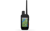
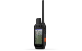
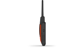
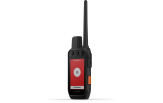
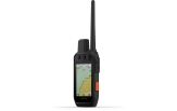
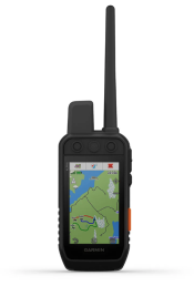
Alpha 300i (inReach) Dog Tracking Handheld Handheld only
This purchase makes you a club member for free
Read more- Club prices on all products
- 1 free parcel locker delivery a year
- Valid for 3 years, every purchase extends it
- Monthly member offers

In stock
Tondi
*Receive by courier or from a parcel locker as early as 13.11

 4.8
861 reviews
GPS Eesti on Google


SOLID CONNECTION. STRONG BOND.
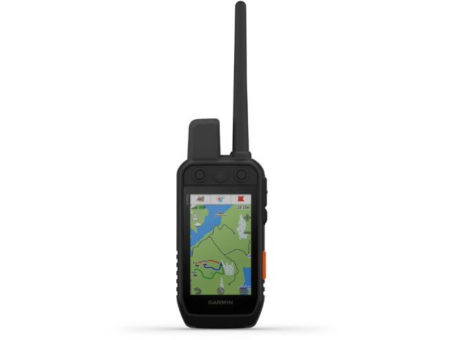
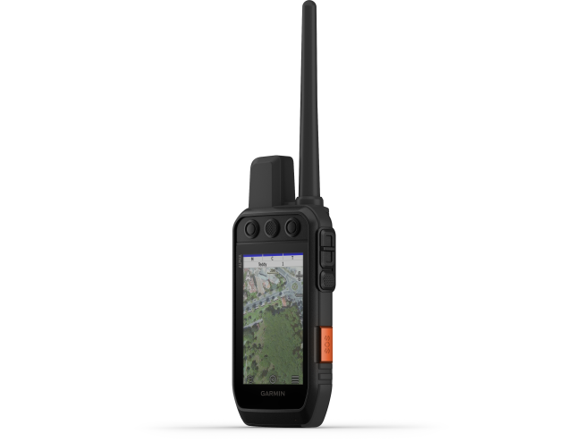
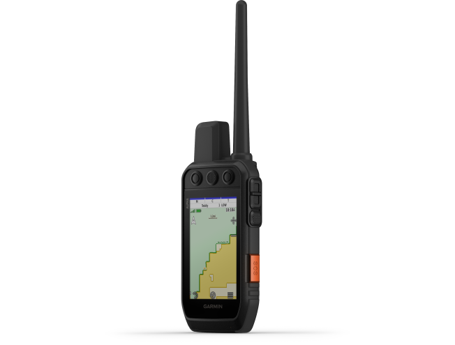
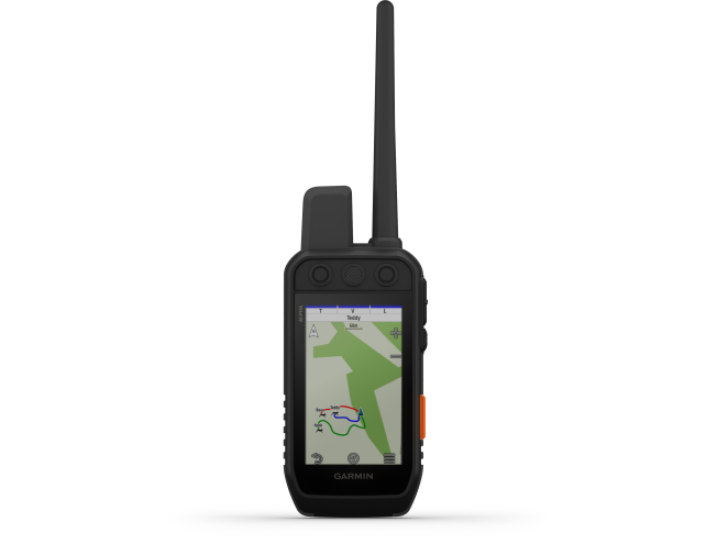
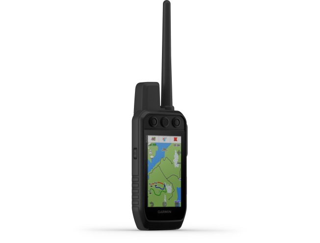
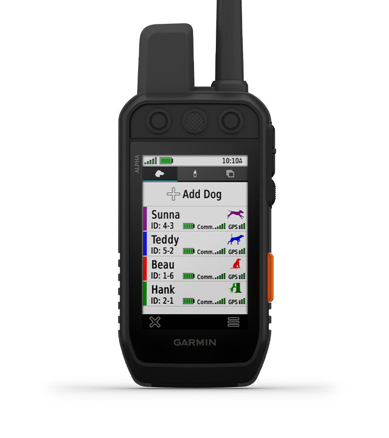
Brushy fields, rolling prairies, dense woods, rocky ridges – no matter where you hunt, you and your dogs need gear you can rely on. Track your dogs1 with the Alpha® 300i handheld, featuring a new bright 3.5″ touchscreen, inReach® satellite communication2 and a user-friendly six-button design.

INTERACT USING THE TOUCHSCREEN AND BUTTONS.

TRACK YOUR PACK1.

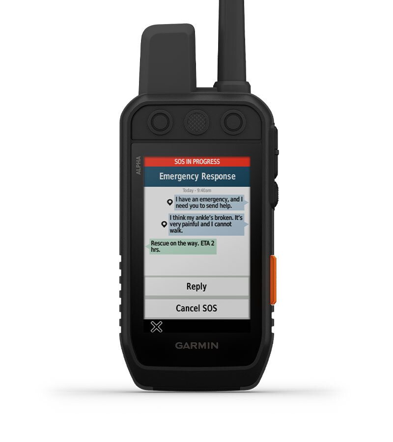
COMMUNICATE WITH INREACH SATELLITE TECHNOLOGY2.

BATTERY LIFE OF UP TO 50 HOURS WITH INREACH TECHNOLOGY ACTIVATED.

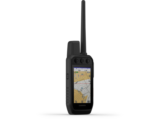
NAVIGATE WITH TOPOACTIVE MAPS AND DOWNLOADABLE SATELLITE IMAGERY.
 | 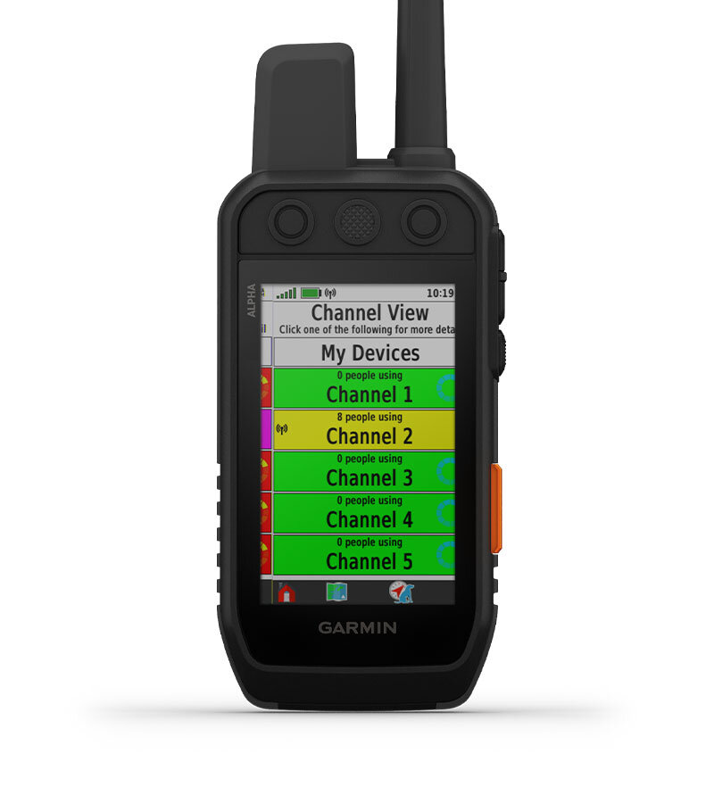 |  |
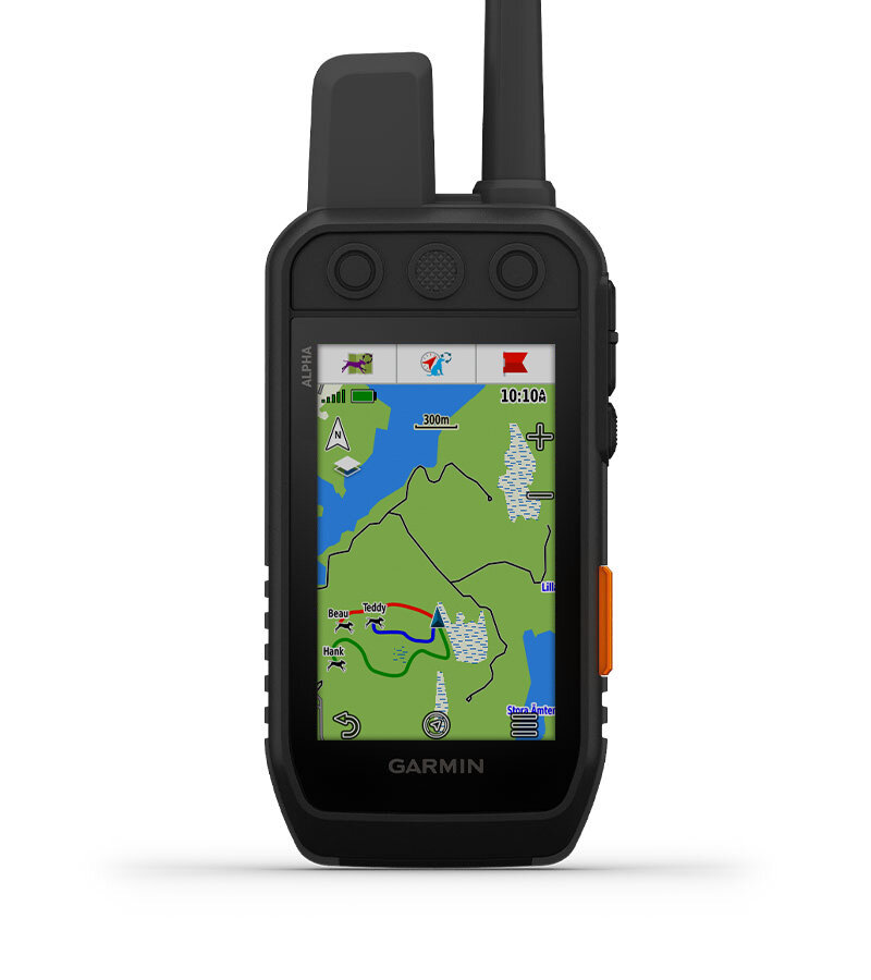
| WITH BRIGHTER DISPLAY AND TOUCHSCREEN | CHANNEL VIEW | TRACK YOUR PACK |
| View maps and track dogs on an even brighter 3.5″ display with update rates as fast as every 2.5 seconds. The touchscreen lets you interact with the device even when wearing gloves, and the display is readable in a variety of lighting conditions. | Monitor collar concentration in your area and easily select less congested channels to help prevent potential interference. | Track up to 20 dogs wearing compatible collars from up to 14.5 kilometres away on the colour touchscreen. |
 | 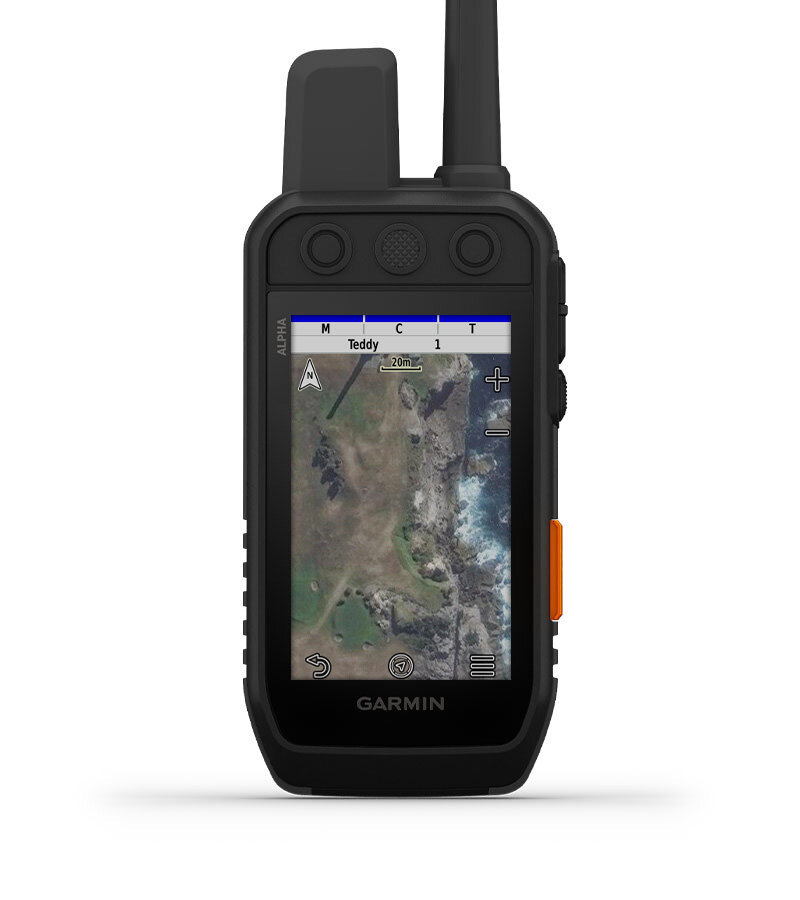 | |
| DOG METRICS | SATELLITE IMAGERY | |
| See key hunting metrics such as distance, speed and time out directly from the dog information screen1. | Download satellite imagery to the device using Wi-Fi® technology and study the terrain to find suitable habitat for game. |
|  |  |
| LONG-LASTING BATTERY | GROUP MANAGEMENT | TRACK DOGS |
| Replaceable battery lasts up to 55 hours. | Save time at the start of every hunt with groups of the dogs and people you hunt with. | See when your dog has treed game or picked up a scent. |
 |  |  |
| DOG METRICS | BACKWARDS COMPATIBLE | DOG LIST |
| See key dog stats such as distance, speed and time out directly on the dog information page1. | Pair the handheld with select T series collars. | Save up to 250 dogs, making it quick and easy to swap active collars during the hunt. |
 |  |  |
| 100% GLOBAL IRIDIUM® SATELLITE NETWORK | OPTIONAL INREACH WEATHER | GARMIN EXPLORE™ APP |
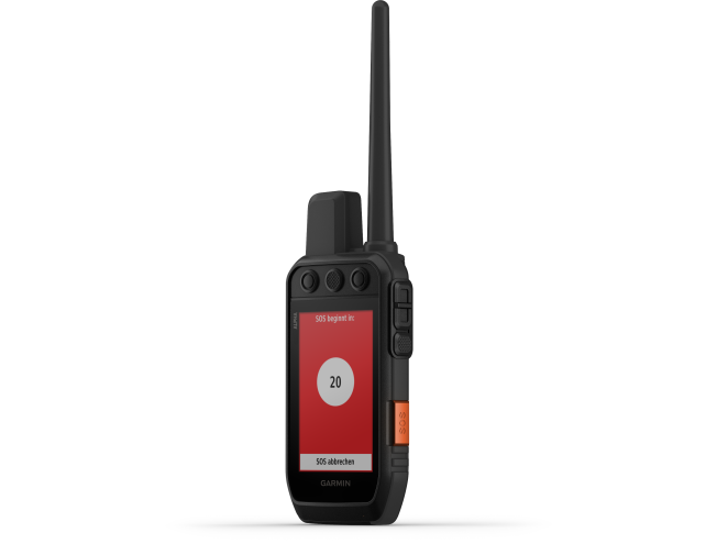
| Messages, SOS alerts and tracking data are transmitted via the global Iridium satellite network2. | Accurate weather forecasts on your Alpha® 300i handheld with the Garmin Explore app2. | Pair with the Garmin Explore smartphone app for fast and easy satellite messaging2. |
 | ||
| MAPSHARE™ TRIP SHARING PAGE | ||
| Give friends and family an easy way to follow your progress, see your GPS location and send you messages during your trip2. |
 |  |  |
| MULTI-GNSS SUPPORT | PRO VIEW COMPASS | TOPOACTIVE MAPS |
| Use multiple global satellite systems for better coverage in challenging environments. | Simple at-a-glance tracking showing which direction and how far away your dogs are. | Detailed information on terrain contours, topographic elevations, summits, parks and more. |
 |  |  |
| TOP MAPPING FEATURES | ALTIMETER | 3-AXIS COMPASS |
| Subscribe to the Outdoor Maps+ app to get public land information, landowner names, enhanced topo maps and much more. (Not available in all countries.) | The barometric altimeter helps you accurately track ascent and descent. | Whether you're moving or not, navigate with the gyroscopic 3-axis compass. |
1 Requires compatible dog collars (sold separately)
2 A satellite subscription is required. Some jurisdictions regulate or prohibit the use of satellite communication devices. It is your responsibility to know and comply with all applicable laws in the jurisdictions where you intend to use the device.
General | |
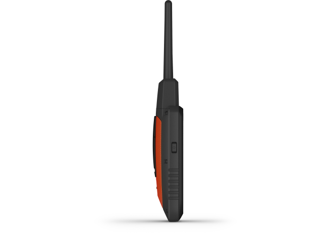
| PHYSICAL DIMENSIONS | 6.8 x 16.2 x 3.4 cm (2.7 x 6.4 x 1.3″) *dimensions exclude antenna |
|---|---|
| TOUCHSCREEN |  |
| DISPLAY SIZE | (W x H) 4.7 cm x 7.7 cm, 3.5″ diagonal (88.9 mm) |
| DISPLAY RESOLUTION | 282 x 470 pixels |
| DISPLAY TYPE | Transflective colour TFT touchscreen |
| WEIGHT | 280 g (9.9 oz) with standard antenna and battery |
| WATER RATING | IPX7 |
| BATTERY TYPE | Lithium-ion battery (included) |
| BATTERY LIFE | Up to 55 hours; up to 50 hours with inReach® technology activated |
| INTERFACE | USB-C |
| MEMORY/HISTORY | 16 GB |
Maps & memory | |
| PRELOADED MAPS | Yes (TopoActive Europe) |
|---|---|
| ABILITY TO ADD MAPS | Yes (see Add-on) |
| AUTOMATIC ROUTING (TURN-BY-TURN ROUTING ON ROADS) | Yes (selected road maps with corresponding features) |
| BIRDSEYE | Yes (direct to device; no annual subscription required) |
| ABILITY TO ADD MEMORY CARDS | microSD card (not included) |
| WAYPOINTS/FAVOURITES/LOCATIONS | 10 000 |
| COURSES | Up to 20 devices (combination of compatible dog devices and handhelds) |
| TRACK LOG | 20,000 points, 250 saved tracks in spx format, 300 saved activities |
| ROUTES | 250 |
| SAVED CONTACTS | 250 dogs |
| GROUP MANAGEMENT | |
Sensors | |
| HIGH-SENSITIVITY RECEIVER | |
|---|---|
| GPS | |
| GALILEO | |
| BAROMETRIC ALTIMETER | |
| COMPASS | Yes (tilt-compensated 3-axis) |
Outdoor recreation features | |
| SUN AND MOON INFORMATION | |
|---|---|
| CUSTOM MAPS COMPATIBLE | |
inReach® features | |
| INTERACTIVE SOS | |
|---|---|
| SEND AND RECEIVE TEXT MESSAGES TO SMS AND EMAIL | |
| SEND AND RECEIVE TEXT MESSAGES TO ANOTHER INREACH DEVICE | |
| EXCHANGE LOCATION INFORMATION WITH ANOTHER INREACH DEVICE | |
| VIRTUAL KEYBOARD FOR CUSTOM TEXT MESSAGES | |
| SEND WAYPOINTS TO MAPSHARE WHILE ON A TRIP | |
| SEND ROUTE SELECTION TO MAPSHARE WHILE ON A TRIP | |
Radio features | |
| FREQUENCY BAND | MURS |
|---|---|
| CHANNELS | 5 |
| OPERATING RANGE | Up to 14.5 kilometres line of sight with compatible dog collars (VHF range) |
| LOCATION NOTIFICATION (SEND AND RECEIVE GPS LOCATION DATA) | |
| VIBRATION ALERT | |
| CONTACTS | |
Outdoor | |
| GARMIN EXPLORE™ APP COMPATIBLE | |
|---|---|
| GARMIN EXPLORE WEBSITE COMPATIBLE | |
| DOG TRACKING | |
Connections | |
| WIRELESS CONNECTIVITY | Yes (Wi-Fi®, BLE and ANT+®) |
|---|---|
Extra | |
| EXTRA |
|
|---|---|
Handheld only:
- Alpha® 300i handheld with rechargeable lithium-ion battery pack
- Belt clip
- AC adapter
- USB-C cable
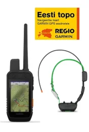
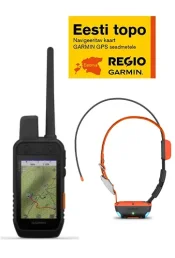
+ T20 and Regio Topo Bundle
- Alpha® 300i handheld with rechargeable lithium-ion battery pack
- Belt clip
- AC adapter
- USB-C cable
- Regio Estonia Topo map on memory card
- Alpha® T 20 dog collar with rechargeable lithium-ion battery pack
- 1″ orange strap
- Charging clip
- USB-C cable
+ TT25 and Regio Topo Bundle
- Alpha® 300i handheld with rechargeable lithium-ion battery pack
- Belt clip
- AC adapter
- USB-C cable
- Regio Estonia Topo map on memory card
- Alpha® TT 25 dog collar with rechargeable lithium-ion battery pack
- 1″ green strap
- Charging clip
- USB-C cable
