



Rait Ratasepp: 700 km in 10 days with the Garmin Fenix 7X

15.11.2022
 Reading time: 5 minutes
My next self-organised challenge is an ultra run across eight Canary Islands, coast to coast and over the highest peak of each island. The highest point of El Hierro is 1451 metres, Gran Canaria 1949 m, La Gomera 1487 m, La Palma 2423 m, Tenerife 3718 m, La Graciosa 266 m, Lanzarote 670m and Fuerteventura 807 m. Although the exact distance and vertical metres will only be known at the end of the challenge, I will need to cover roughly 700 km in total, with about 30 000 metres of ascent and the same amount of descent. If all goes well and the logistics between the islands run without major hiccups, it should be doable within 10 days.
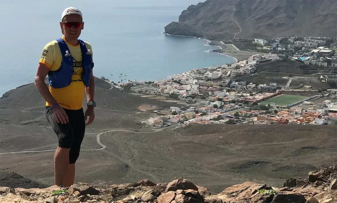
I don't like depending on a sports watch, and I usually don't train or race by the watch at competitions and ultra triathlons. I know my heart rate zones and the corresponding effort levels precisely by listening to my body. However, the watch is necessary so that I can later use the data it records to analyse my performance and set new goals. When running in the mountains, on the other hand, I depend on the watch much more – several Garmin watch features make navigation much easier, the live track feature lets my team easily follow my movements, and the safety feature reports an accident automatically.
Below is a closer look at the features and options I use on my Garmin Fenix 7X during the 8 Canary Islands challenge.
Map app
I planned the challenge route in the Komoot map app. It is compatible with Garmin devices and lets you sync routes and trails automatically. I simply choose an activity on my Garmin (e.g. hiking or trail run) and open the route under courses. Then I can see on the watch map where I am on the route and which direction I need to go. Every so often the watch signals whether I'm on course, or alerts me if I've gone off track.
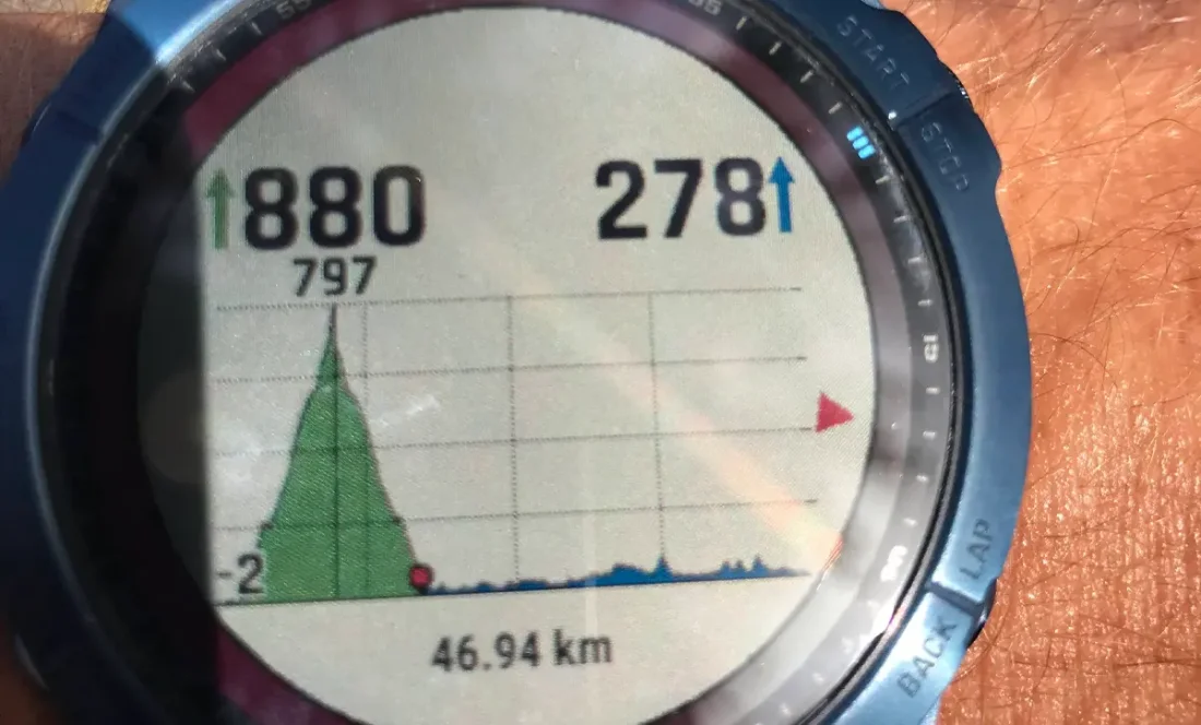
The watch also shows me the course profile and, climb by climb and descent by descent, exactly how much of the current climb or descent remains. Knowing the course profile helps me plan fluid and food supplies – for example, a climb takes significantly more time, energy and drink than a descent. Among other things, it makes it easier to time my nutrition strategy.
Altimeter
When moving in the mountains, I like to track my current altitude in real time. On climbs lasting hours, it's mentally easier for me when I can see how much climbing is left. When conquering a high peak (e.g. Tenerife's highest peak Teide 3718), progress is hard to see with the naked eye and it's easy to feel like there's no end in sight. That's when, mentally, it helps to focus on small steps by watching the ascent or descent add up metre by metre on the altimeter.
Incident detection
During the challenge I take around 100 000 steps a day, and just one small moment of inattention can end in a serious fall. In the worst case, calling for help yourself after an accident can be difficult. Garmin has an automatic notification system for exactly this. Fortunately, I haven't had to test it first-hand in the mountains, but when I collided with a car while cycling during a 60-fold ultra triathlon, the feature definitely worked.
I'd also like to highlight two great Fenix 7X features. First, the built-in flashlight – it lights things up superbly in the dark, so I don't have to worry about carrying a second headlamp. The watch's light can also be used to stay visible in the dark – you can set the flashlight so that a white light flashes when your arm swings forward and a red light when it swings back.
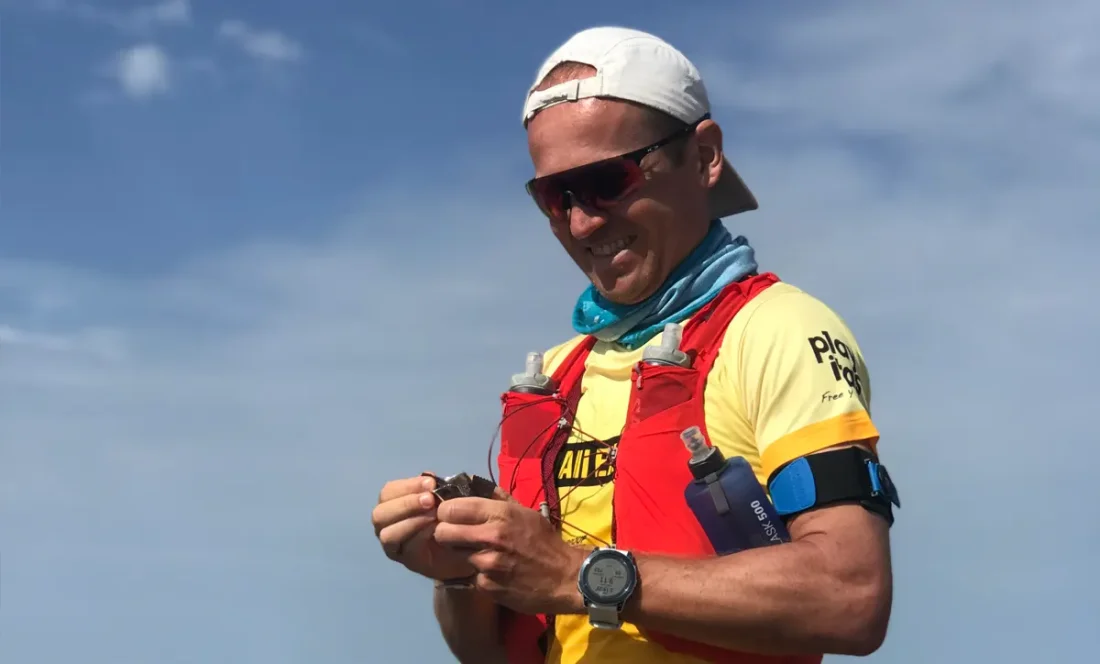
The second feature I'd highlight is that the watch battery lasts a long time, and thanks to the built-in solar panel, the already good battery life is significantly extended. That makes perfect sense – what use would all these features be if a long-lasting battery didn't keep them running?
