



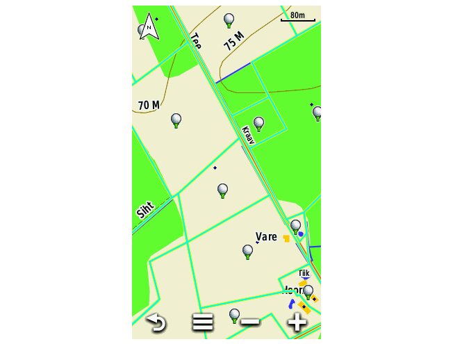
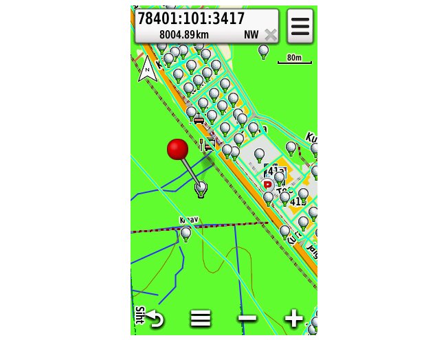
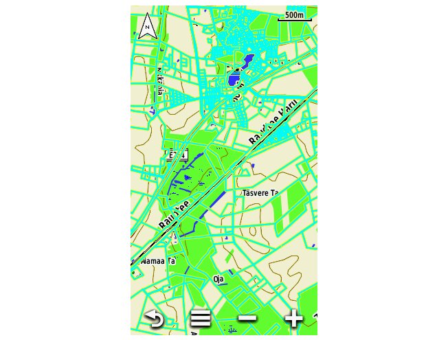
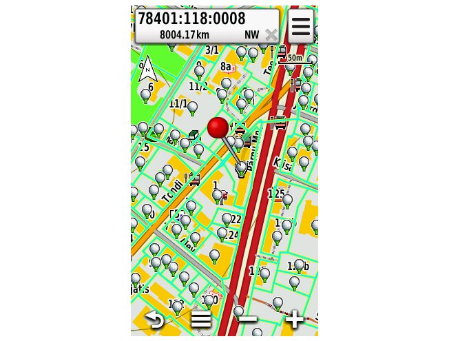
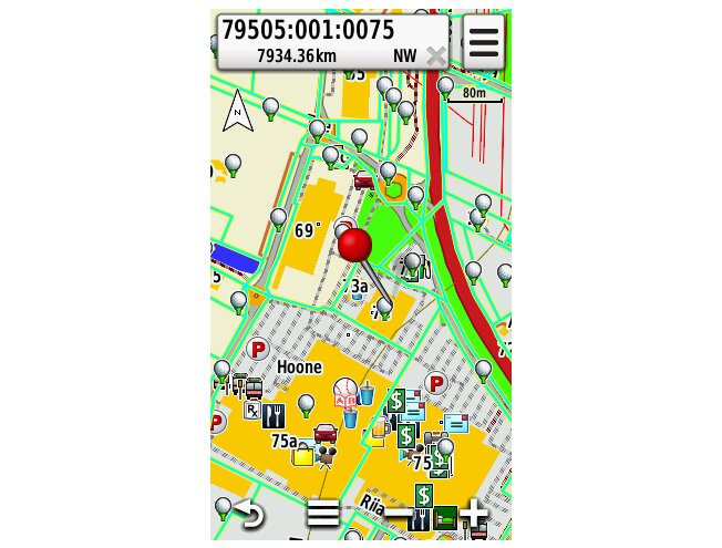
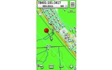
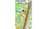
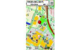
Cadastral Parcel Map
A Land Board based map layer for Garmin that finds property boundaries by cadastral code.
Klubijäsenen edut
Lue lisää- Klubihinnat kaikille tuotteille
- Ilmainen pakettiautomaattitoimitus alkaen 150 €
- Voimassa 3 vuotta, jokainen ostos pidentää
- Kuukausittaiset jäsentarjoukset
Liity ilmaiseksi, kun ostoksesi on vähintään 150 €, tai klubikortilla (9,99 €).

 4.8
866 arvostelua
GPS Eesti Googlessa


Latest version: 03.2026
Estonian cadastral parcel map layer for Garmin devices.
A thematic layer based on Estonian Land Board cadastral data. Searchable by cadastral code.
The map is loaded onto the device or a memory card.
Owners of earlier versions can update their map at our store or by adding it to the cart as an add-on.
The map update costs the same as the purchase price!
Best suited to handheld GPS units: eTrex, Dakota, Oregon, Colorado, GPSMap 62/64, Montana etc., and universal navigators (Nüvi 5xx series models) For use on Drive devices you also need a separate Regio Estonian road map memory card.
If needed, contact our stores and we'll help you choose the right map/update for you: Contact
Behaviour may vary between different Garmin devices!
Please note: maps stored on memory cards and devices cannot be copied or viewed on a computer. No other maps may be added to the memory card. If the map is deleted, it cannot be restored. Damaged maps will not be bought back or compensated.
NB! Downloadable maps cannot be returned. Before buying, make sure your device is compatible with the map.
