



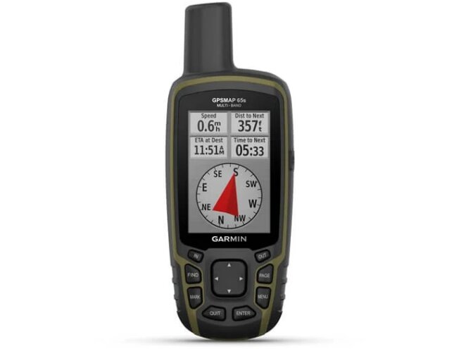
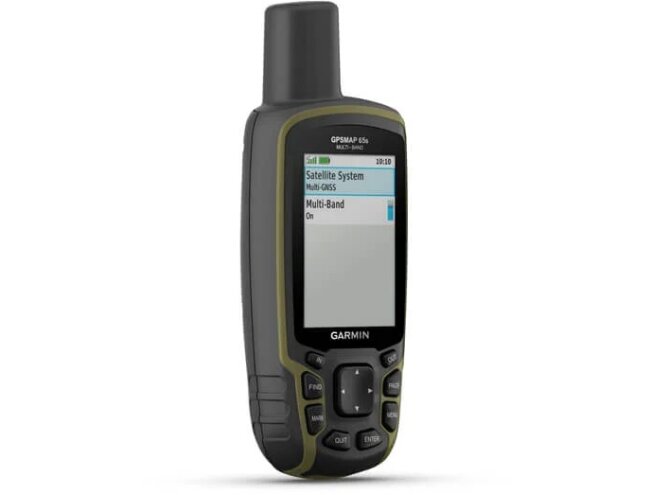
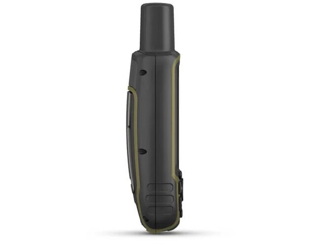
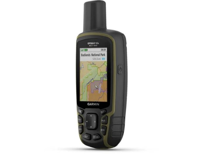
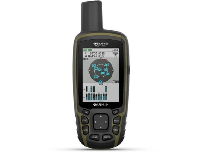
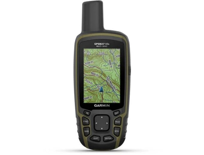
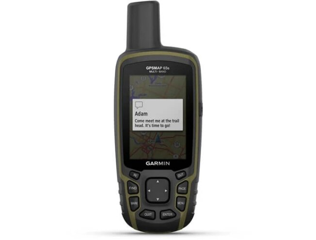
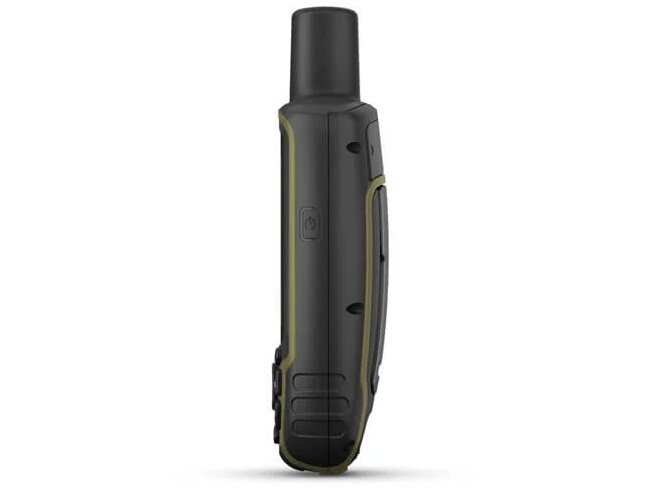
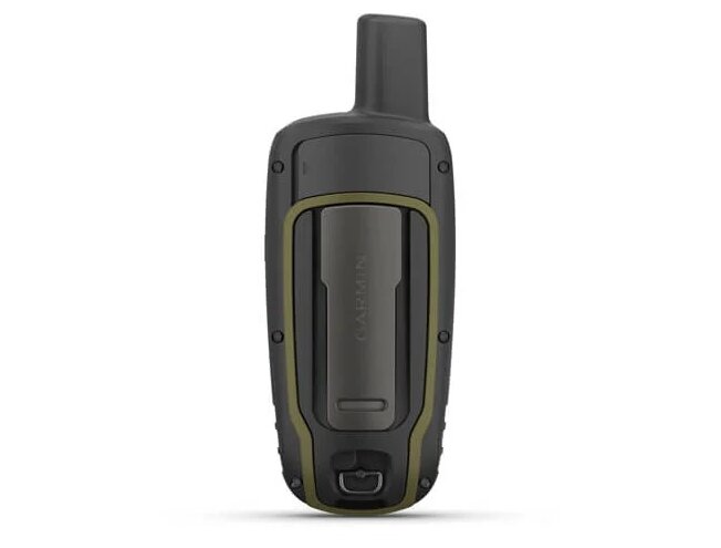
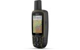
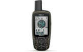
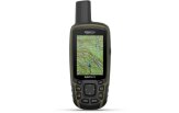
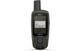
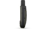
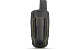
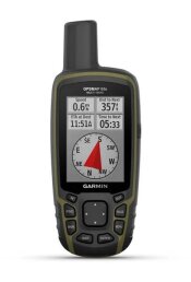
Handheld GPS GPSMAP 65s GPSMAP 65s
Tällä ostoksella pääset klubijäseneksi ilmaiseksi
Lue lisää- Klubihinnat kaikille tuotteille
- Ilmainen pakettiautomaattitoimitus alkaen 150 €
- Voimassa 3 vuotta, jokainen ostos pidentää
- Kuukausittaiset jäsentarjoukset

Varastossa
Tondi
*Kuriirilla tai pakettiautomaatista jo 13.11

 4.8
861 arvostelua
GPS Eesti Googlessa


- Yleiskatsaus
- Tekniset tiedot
- Pakkauksen sisältö
- Kartat
- Aiheeseen liittyvät linkit
- Yhteensopivat tuotteet
FIND YOUR WAY IN THIS BIG, WIDE WORLD
Explore more with this rugged handheld that offers optimal tracking accuracy, a 2.6-inch colour display and preloaded maps.

Don’t miss a detail with this large, sunlight-readable colour display.

Lead the way in challenging locations with multi-band technology and expanded GNSS satellite support.

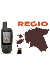
Cross the countryside with routable TopoActive Europe maps.

Plot your next move with built-in navigation sensors.

The Garmin Explore™ website and app1 let you organise your adventure from anywhere.

Travel with up to 16 hours of battery life in GPS mode.

Follow your path.
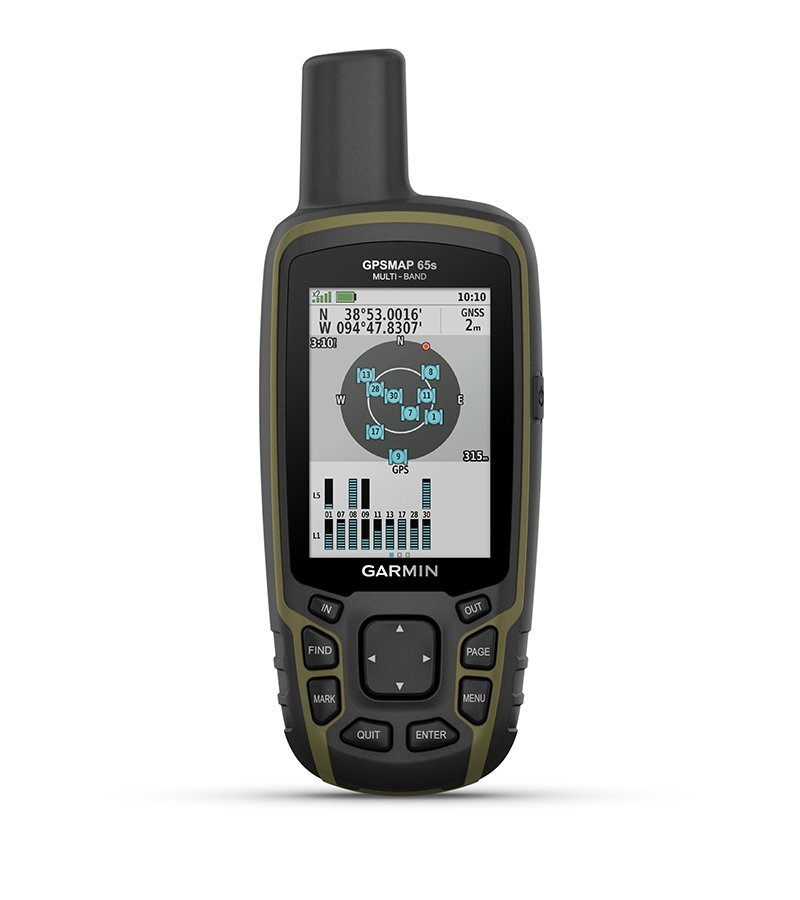 | 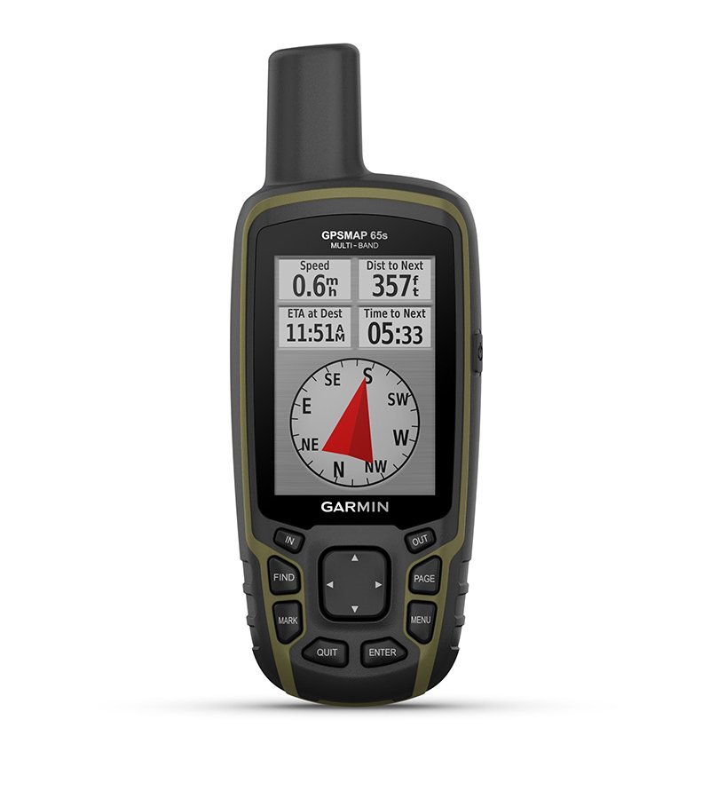 | 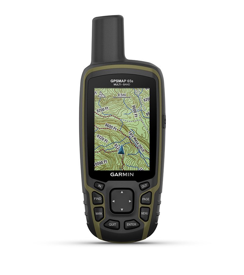 |
| EXPANDED GNSS SUPPORT | ABC SENSORS | PRELOADED MAPS |
| Multi-band technology and expanded GNSS support (GPS, GLONASS, Galileo, QZSS and IRNSS) provide optimal accuracy in steep country, urban canyons and forests with dense trees. | Navigate every trail with ABC sensors, including an altimeter for elevation data, barometer to monitor weather and 3-axis electronic compass. | Preloaded Europe maps provide a detailed view of routable streets and topography, waterways, natural features, land use areas, buildings and more. |
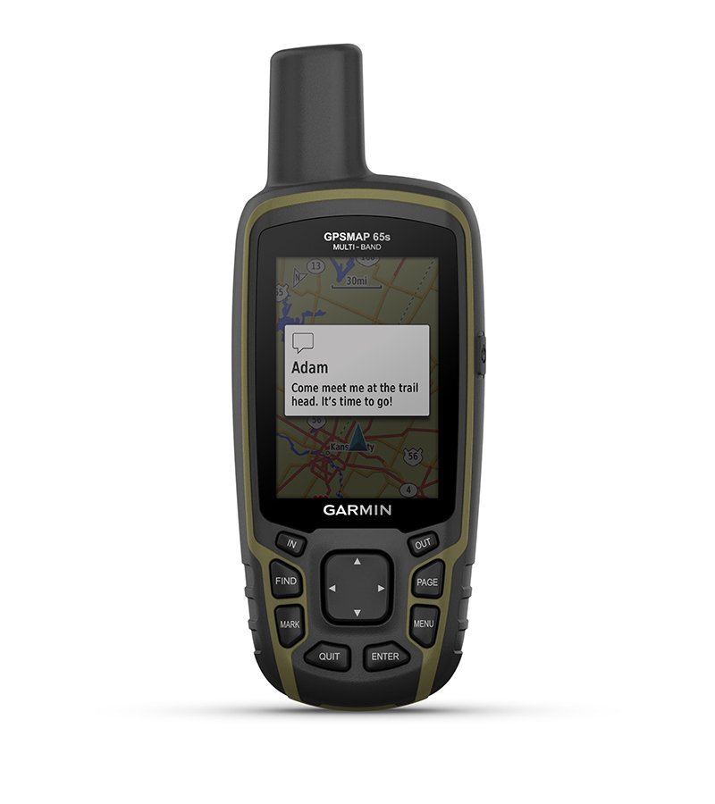 | 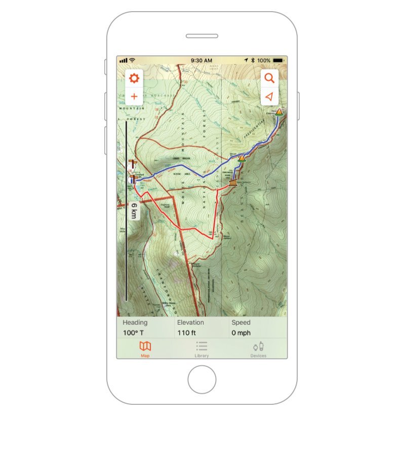 | |
| SMART NOTIFICATIONS | GARMIN EXPLORE APP | GEOCACHING |
| Receive emails, texts and alerts right on your handheld when paired with a compatible device. | Plan, review and sync waypoints, routes and tracks with the app1 and the companion website. You can also review completed activities while on the go. | Get automatic cache updates from Geocaching Live, including descriptions, logs and hints. |
| MICROSD™ SLOT | ||
| With a compatible device and a microSD card, you can easily download maps and hit the trail, or open maps to see public land types and boundaries as well as private landowner names and boundaries. |
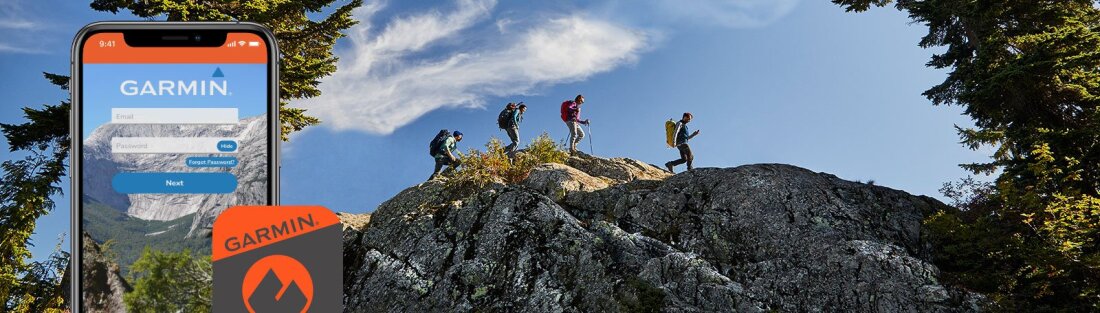
Garmin Explore™ app for off-grid navigation and more.
1 When paired with a compatible smartphone.
Wi-Fi® is a registered trademark of Wi-Fi Alliance.
General | |
| Lens material | chemically strengthened glass |
|---|---|
| Dimension | 6.1 x 16.0 x 3.6 cm |
| Weight | 217 g with batteries |
| Water rating | IPX7 |
| Display Type | Transflective, 65K colour TFT |
| Display Size | 3.6 x 5.5 cm; 2.6-inch diagonal (6.6 cm) |
| Display Resolution | 160 x 240 pixels |
| Battery type | 2 AA batteries (not included); NiMH or Lithium recommended |
| Battery life | 16 hours |
| Memory/history | 16 GB (user space varies based on included mapping) |
| Interface | High-speed mini USB and NMEA 0183 compatible |
Maps & memory | |
| Preloaded maps | Yes (TopoActive Europe; routable) |
|---|---|
| Ability to add maps | |
| Basemap | |
| Automatic routing (turn by turn routing on roads) for outdoor activities | |
| Map segments | 3,000 |
| Includes detailed hydrographic features (coastlines, lake/river shorelines, wetlands and perennial and seasonal streams) | |
| Includes searchable points of interests (parks, campgrounds, scenic lookouts and picnic sites) | |
| Displays national, state and local parks, forests and wilderness areas | |
| Storage and Power Capacity | Yes (32 GB max microSD™ card) |
| Waypoints/favourites/locations | 5,000 |
| Tracks | 200 |
| Navigation Track Log | 10,000 points, 200 saved tracks |
| Navigation Routes | 200, 250 points per route; 50 points auto routing |
Sensors | |
| GPS | |
|---|---|
| GLONASS | |
| Galileo | |
| QZSS | |
| Barometric altimeter | |
| Compass | Yes (tilt-compensated 3-axis) |
| High-sensitivity receiver | |
| GPS compass (while moving) | |
| Multi-band frequency | |
Daily smart features | |
| Smart notifications on handheld | |
|---|---|
| VIRB® camera remote | |
| Compatible with Garmin Connect™ Mobile | |
Outdoor recreation | |
| Area calculation | |
|---|---|
| Fish forecast | |
| Sun and moon information | |
| Geocaching-friendly | Yes (paperless) |
| Custom maps compatible | Yes (500 custom map tiles) |
| Picture viewer | |
Mapping & Navigation | |
| Point-to-point navigation | |
|---|---|
Outdoor applications | |
| Compatible with Garmin Explore™ app | |
|---|---|
| Garmin Explore website compatible | |
Networking & Connections | |
| Wireless Connectivity | Yes - Bluetooth®, ANT+® |
|---|---|
Security and Legal Information | |
| Security updates until at least (YYYY-MM-DD) | 2022-09-24 |
|---|---|
- GPSMAP 65s
- USB cable
- Carabiner clip
- Documentation
