



BaseCamp™
Plan your next adventure with BaseCamp – software that lets you view and organise maps, waypoints, routes and tracks, and transfer them to your Garmin device.
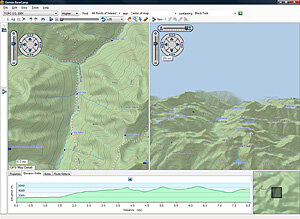
View the terrain
BaseCamp displays your topographic map data in 2D or 3D on your computer screen, including elevation profiles. You can also view and rotate maps from any angle.
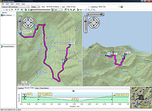
Plan your route
Prepare for your trip by creating waypoints and routes on your computer and then transferring them to your device.
Estimate the difficulty of your hike before you set off with the BaseCamp track drawing feature. You instantly see the elevation changes along your entire route. Once your adventure is over, BaseCamp shows an animated playback of your route and track over time – so you can see exactly where you have been.
To add a detailed map to BaseCamp, download the free Topo Baltic Light OSM map here: Link
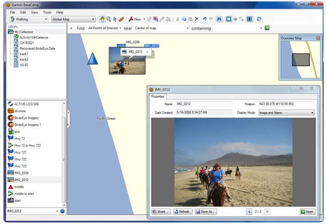 Geotagging photos
With BaseCamp you can geotag your photos – add a photo to any waypoint on the map so you know exactly what the terrain looks like at that point. You can also transfer photos to your Garmin device or from the device to your computer.
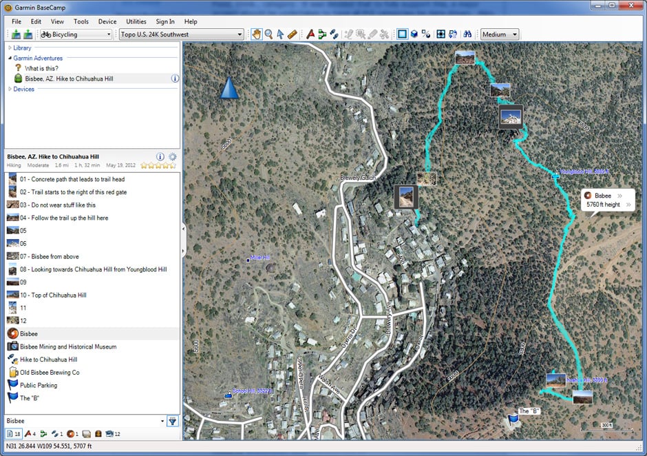 Downloading satellite imagery
Using BaseCamp with a BirdsEye™ Satellite Imagery subscription, you can download unlimited satellite images to your compatible Garmin device and seamlessly integrate them into your handheld GPS maps.
System Requirements
Windows:
- Windows Vista x64 Service Pack 2 or later
- Microsoft .NET framework 4.6 (included)
- Graphics card with OpenGL version 1.3 support or better.
- 1024MB RAM (2048MB recommended)
- Windows Media Player 11 or later
BaseCamp for Windows

Mac:
- Intel-based Mac OS 10.10 or later
- 1024MB RAM (2048MB recommended)
BaseCamp for Mac
